UR’s interactive historical mapping project earns national distinction
The American Panorama Project has thus far explored the migration of populations and formation of infrastructure from 1850 onward.
The University of Richmond’s American Panorama Project, a series of historical maps of the United States exploring the migration of populations and the growth of infrastructure, has been awarded for its work. The Chronicle of Higher Education has named the program as one of its nine tech innovators for 2016.
UR’s Digital Scholarship Lab (DSL) released four sets of new maps in December of 2015. They include:
- “The Forced Migration of Enslaved People,” showing the movement of nearly a million people, the majority through the domestic slave trade, across the South in the half-century before the Civil War.
- “The Overland Trails,” mapping the long and arduous emigrations of men and women over the Oregon, California and Mormon Trails in the 1840s and 50s.
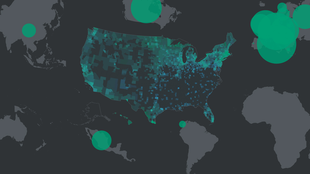
- The “Foreign-Born Population” map set, enabling users to explore the connections that tied migrants to the U.S. to the places they were born.
- And “Canals,” mapping the growth of artificial waterways and economic development in the antebellum period by presenting data about the commodities and products that moved across the canals.
Since launching in December the maps have been viewed nearly 120,000 times. The “Foreign-Born Population” map has the most traffic with 44 percent of the map’s views.
Each year, The Chronicle of Higher Education releases a supplement issue on technology in higher education. Part of that includes a select group of innovators who are using technology boldly and broadly to solve problems.
To find the innovators, Chronicle editors and reporters asked readers, including faculty, administrators and others involved in the higher education enterprise, to submit nominations, and contacted leaders of the field for suggestions. The final selections were made by a group of Chronicle editors and reporters.
“It is a genuine honor to be included among the Chronicle’s tech innovators,” said Robert Nelson, director of the Digital Scholarship Lab. “We’re truly gratified that tens of thousands of people have explored the maps in Panorama and hopefully learned something new about American history. We particularly hope that people connect the histories the maps explore with pressing contemporary issues.”
“These maps offer an important and exciting view of American history,” said University of Richmond Provost Jacque Fetrow. “We’re delighted the work in the Digital Scholarship Lab is being recognized in this way, and we hope that thousands more will take advantage of this valuable resource as part of their own scholarly research.”
American Panorama was produced as part of a $750,000 grant from the Andrew W. Mellon Foundation. The DSL partnered with Stamen Design to develop these first maps and the mapping software for the project. That software is being released open source for others to use to make their own maps.
-
Recommend this
on Facebook -

Report an error
-

Subscribe to our
Weekly Digest

Trevor Dickerson
Trevor Dickerson loves all things Richmond and manages RVANews’ West of the Boulevard and West End community sites.

Notice: Comments that are not conducive to an interesting and thoughtful conversation may be removed at the editor’s discretion.